
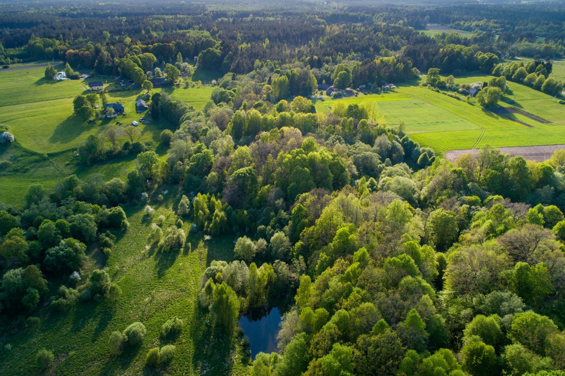
The Vyskupiškės Hillfort, accessible by the Veiviržėnai-Pėžaičiai highway, is located on the right bank of the Veivirža River, on the foreland at the confluence with the Juodupis Stream. The narrow but fast-flowing Juodupis Stream, meandering there, divided the hillfort into two unequal parts before the 20th century and now flows through the former top site of the hillfort. The top site of the hillfort remains today on the left bank of the Juodupis Stream. It is 60 metres long and 30 metres wide at the western end and 12 metres wide at the eastern end, where a 1.5-metre-high bank with a 2.5-metre-high outer slope was installed. As shown in 2003–2004 research of the hillfort (under the management of Olegas Fediajevas), a 2-metre-wide and 1-metre-deep ditch was dug outside the bank, now invisible on the surface. The bank itself was built of sandy loam at any one time. Another part of the hillfort on the right bank of Juodupis has the western edge of the top site of the hillfort preserved with steeper slopes up to 3 metres high. According to research data, the site has a cultural layer up to half a metre thick, containing rough pottery, burnt iron and a pillar site. The surviving parts of the top site on both banks of the stream show that it was quite large: about 120 metres long and at least 30 metres wide. The size of the hillfort, not the strong human-made fortifications and archaeological finds, indicates that at the end of the first or the beginning of the second millennium, there was a fortified settlement at the hillfort. This is also confirmed by a legend stating that the hillfort dates back to the time of the Swedes, who brought locals to the place to make them work on the ‘Pilė’ (the hillfort).
Reviews